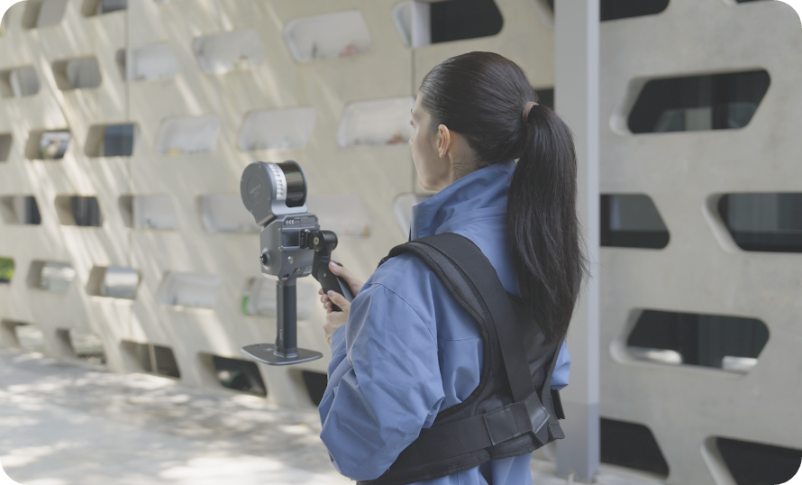
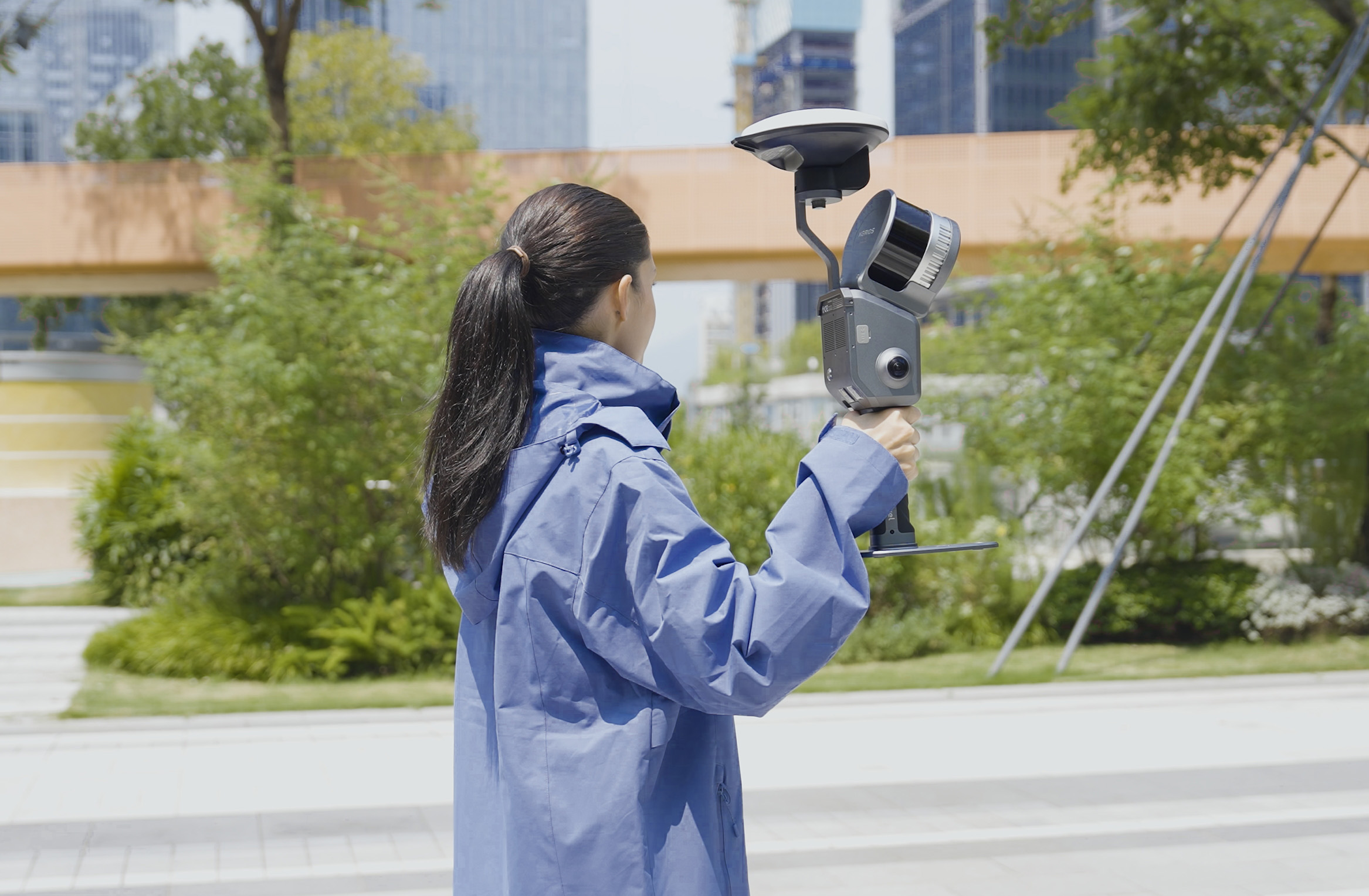
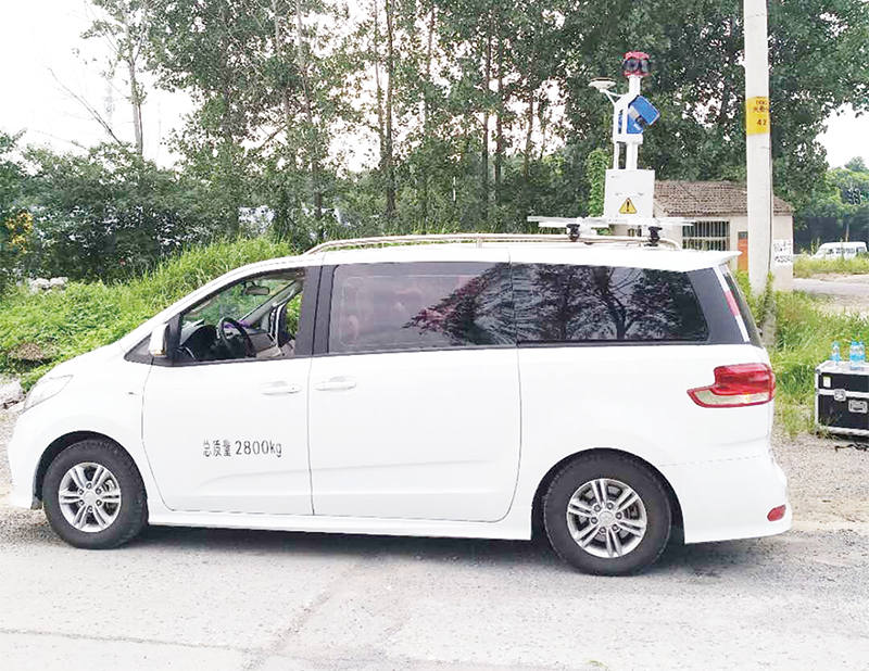
Portable mobile measurement system has the characteristics of flexible operation, efficient, fast data acquisition and strong accessibility.It is used for urban and rural large scale topographic mapping, urban component acquisition and database construction, GIS 3d real scene data acquisition in various fields, etc.
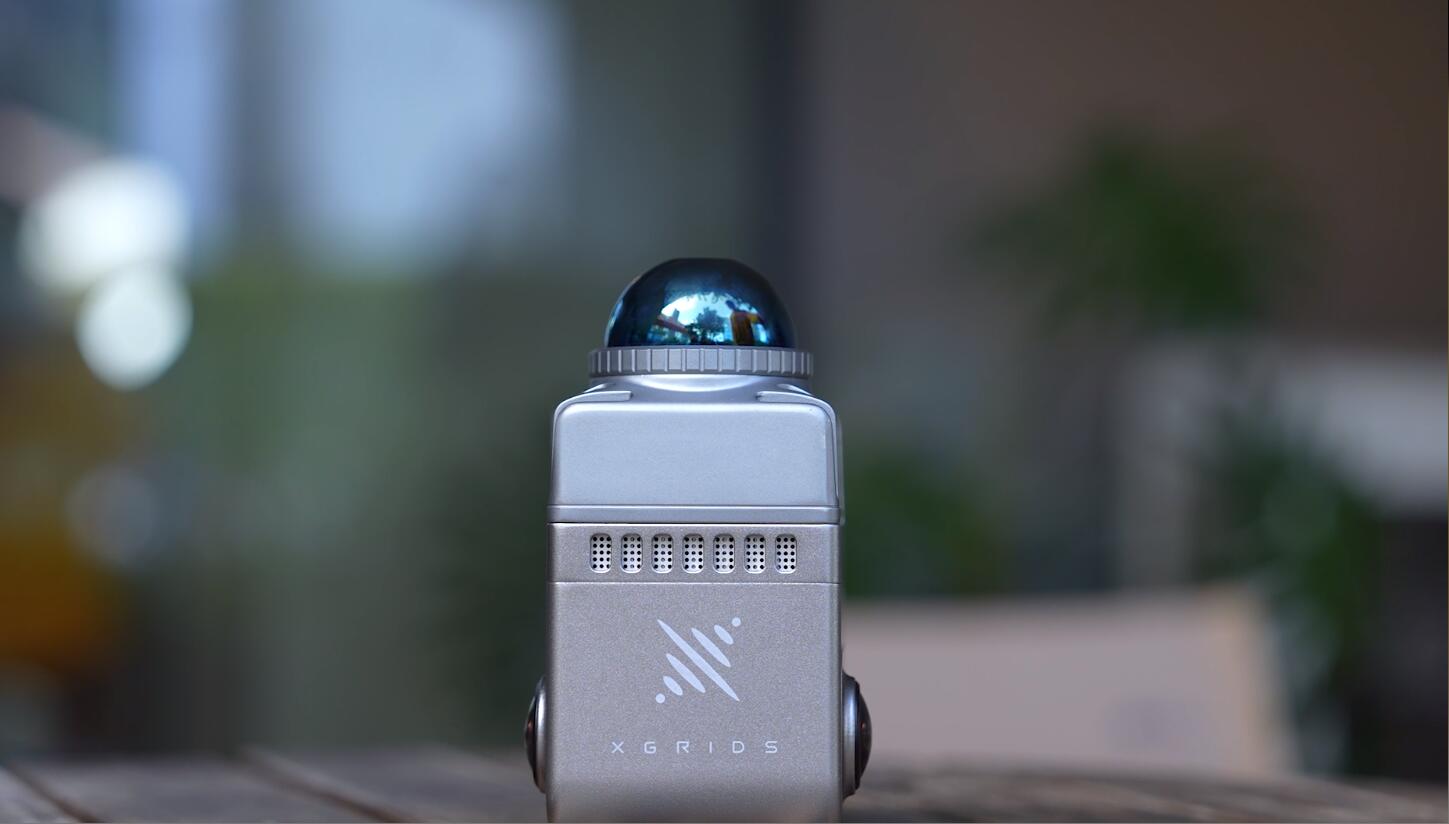
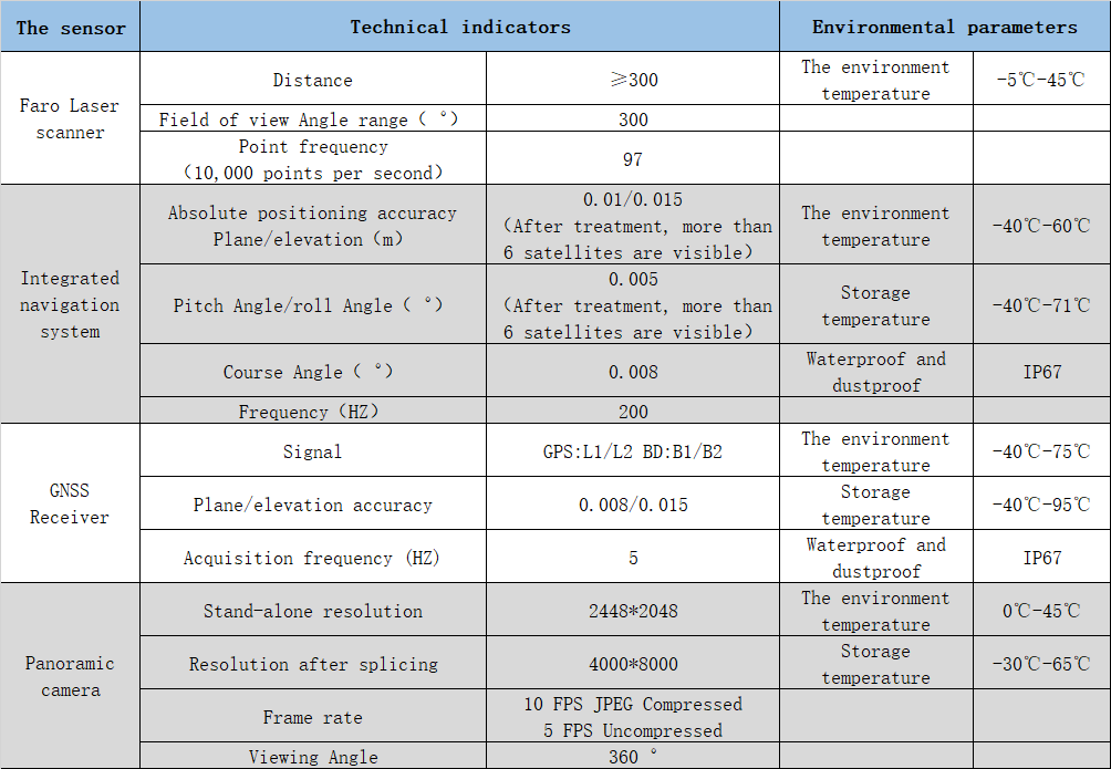
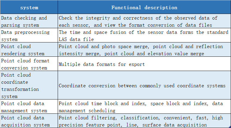
The hardware system mainly consists of laser scanner, integrated navigation system, panoramic camera and other sensors.The software system includes data check and analysis system, data dawdling system, point cloud rendering system, point cloud format transformation system, point cloud coordinate transformation system, point cloud data partitioning and management system, etc.
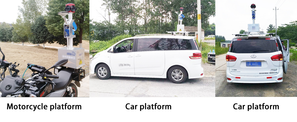
Platform: car, motorcycle
Hardware configuration: GPS, IMU, laser scanner, panoramic camera, tablet PC
Hardware control: data acquisition and monitoring system
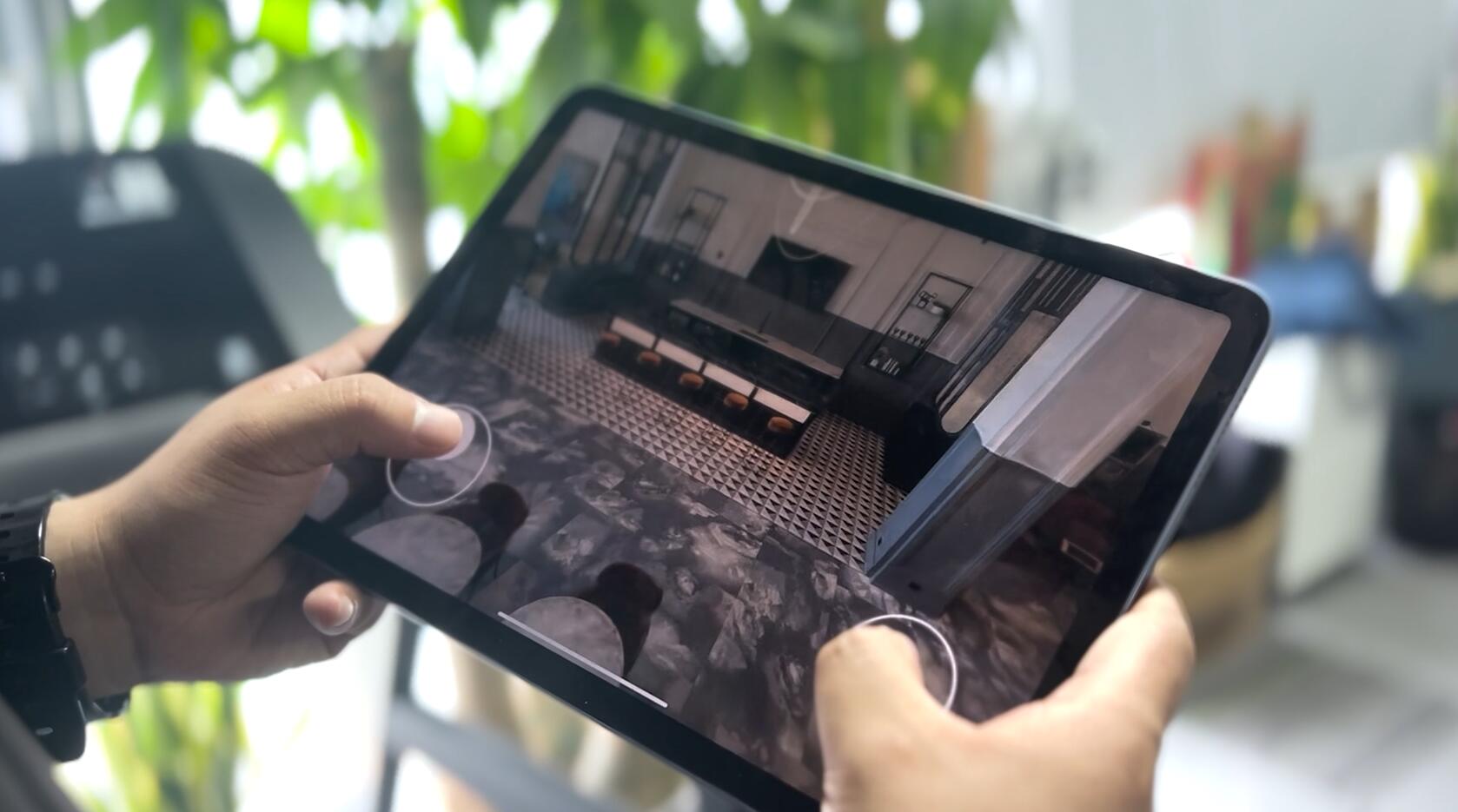
Software system: data preprocessing software, point cloud processing software
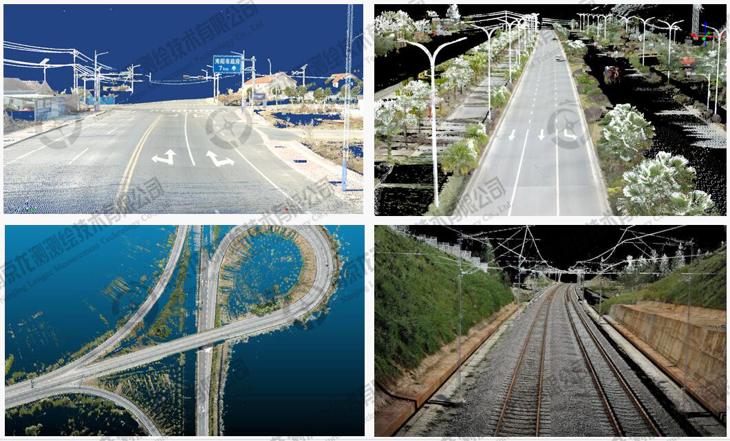
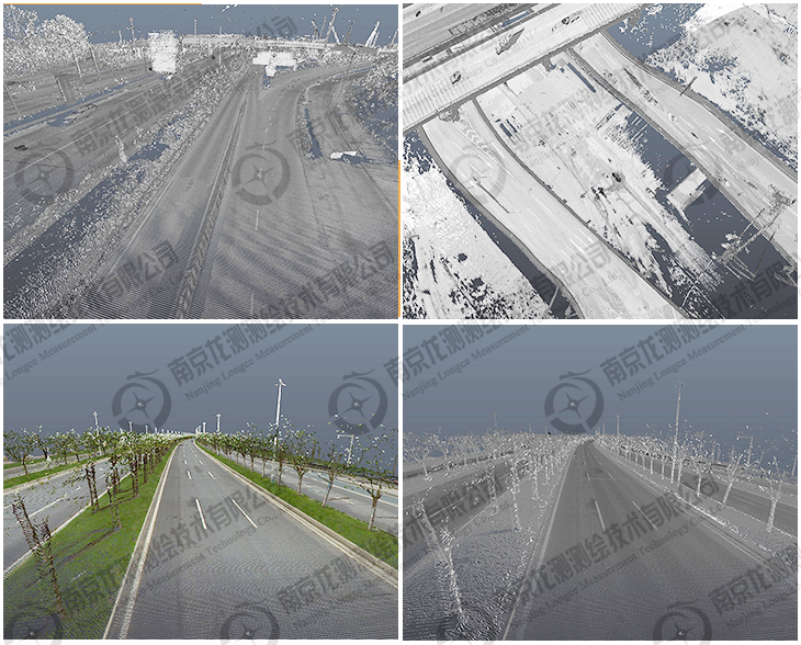
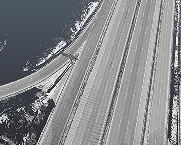
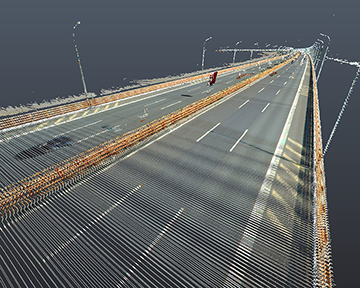
Road color 3 D point cloud map
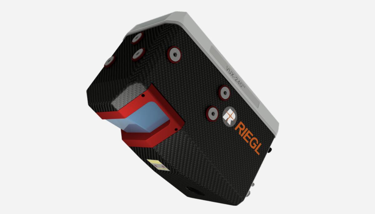
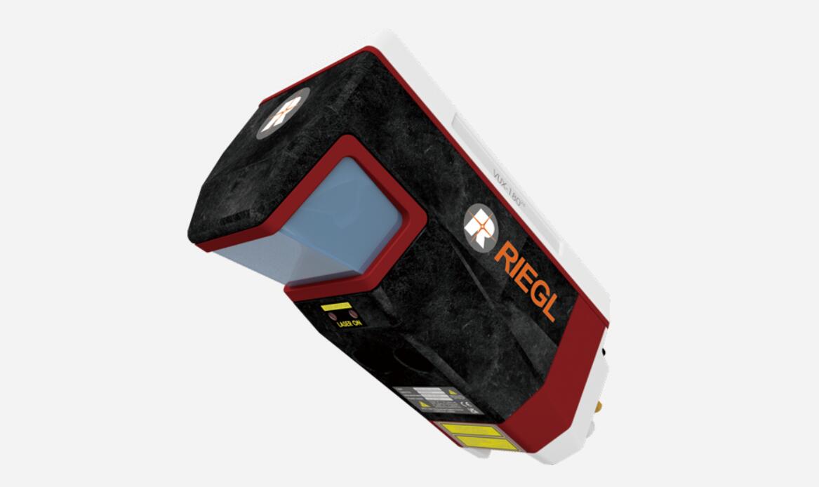
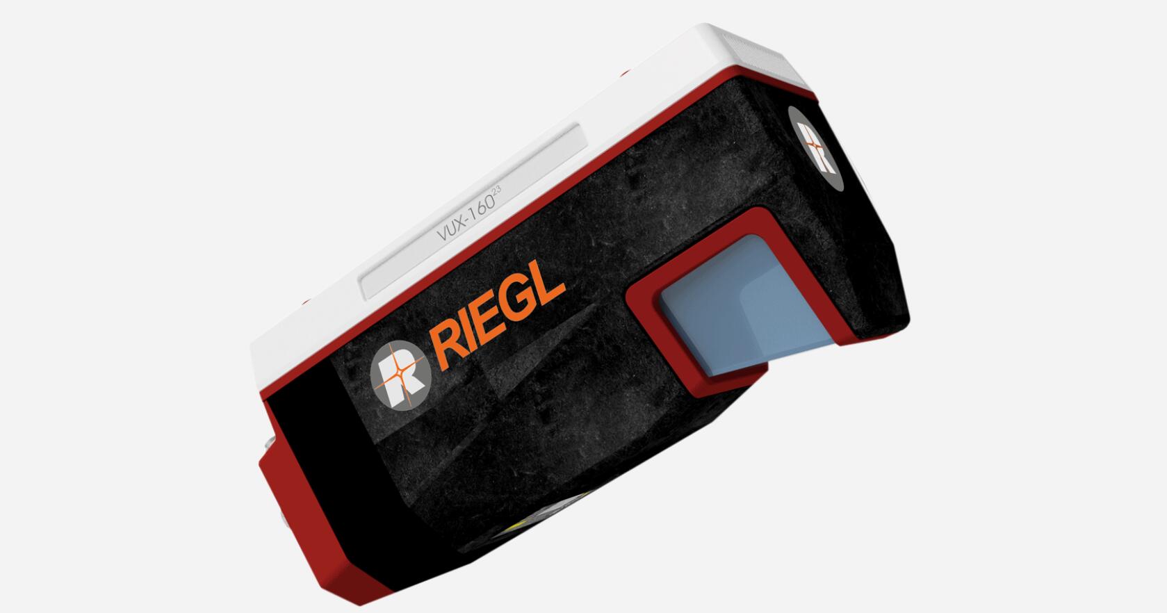
Main sensor and performance index of mobile measurement system
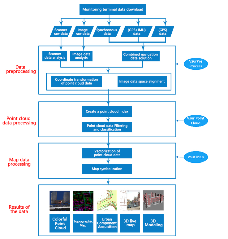
The software system
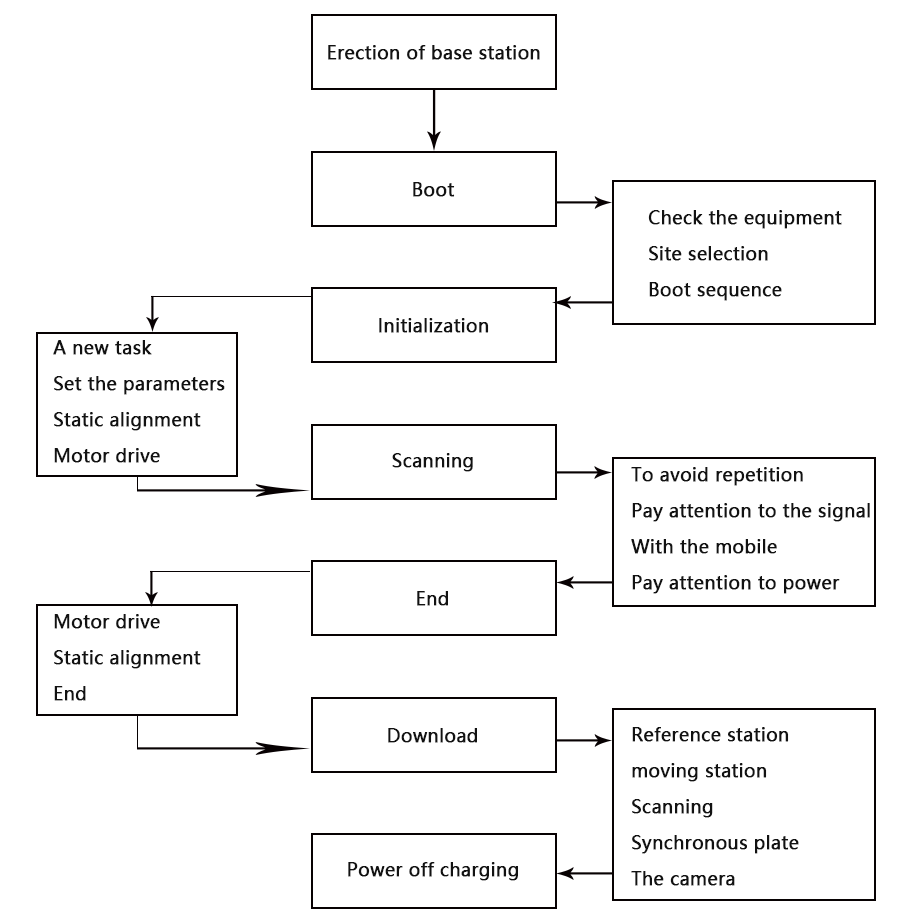
Work flow: Outside + inside
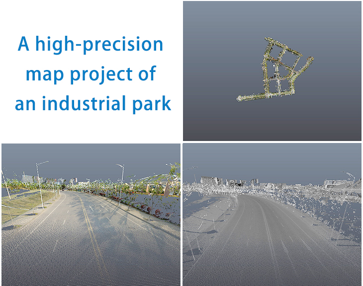
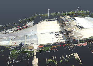
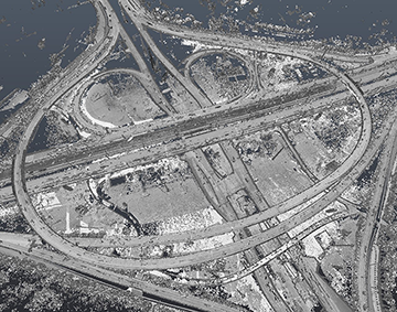
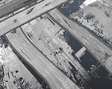
The case shows
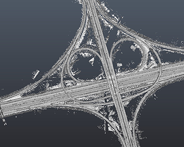
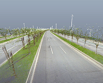
Automatic driving high-precision map production based on point cloud data
Vehicle-mounted mobile measurement system can quickly acquire road laser point cloud and panoramic data, providing a solution for road high-precision map acquisition, and supporting precise navigation and driverless applications.
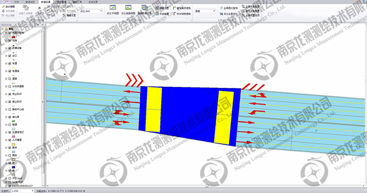
An overpass project around the outer ring
 ∷
∷ 


 Sweep WeChat yards pay attention to us